Field note · Planning
Reading a North Atlantic forecast
Why journeys on this seaboard are built with spare days, and how weather changes the shape of a plan rather than ruining it.
6 min read
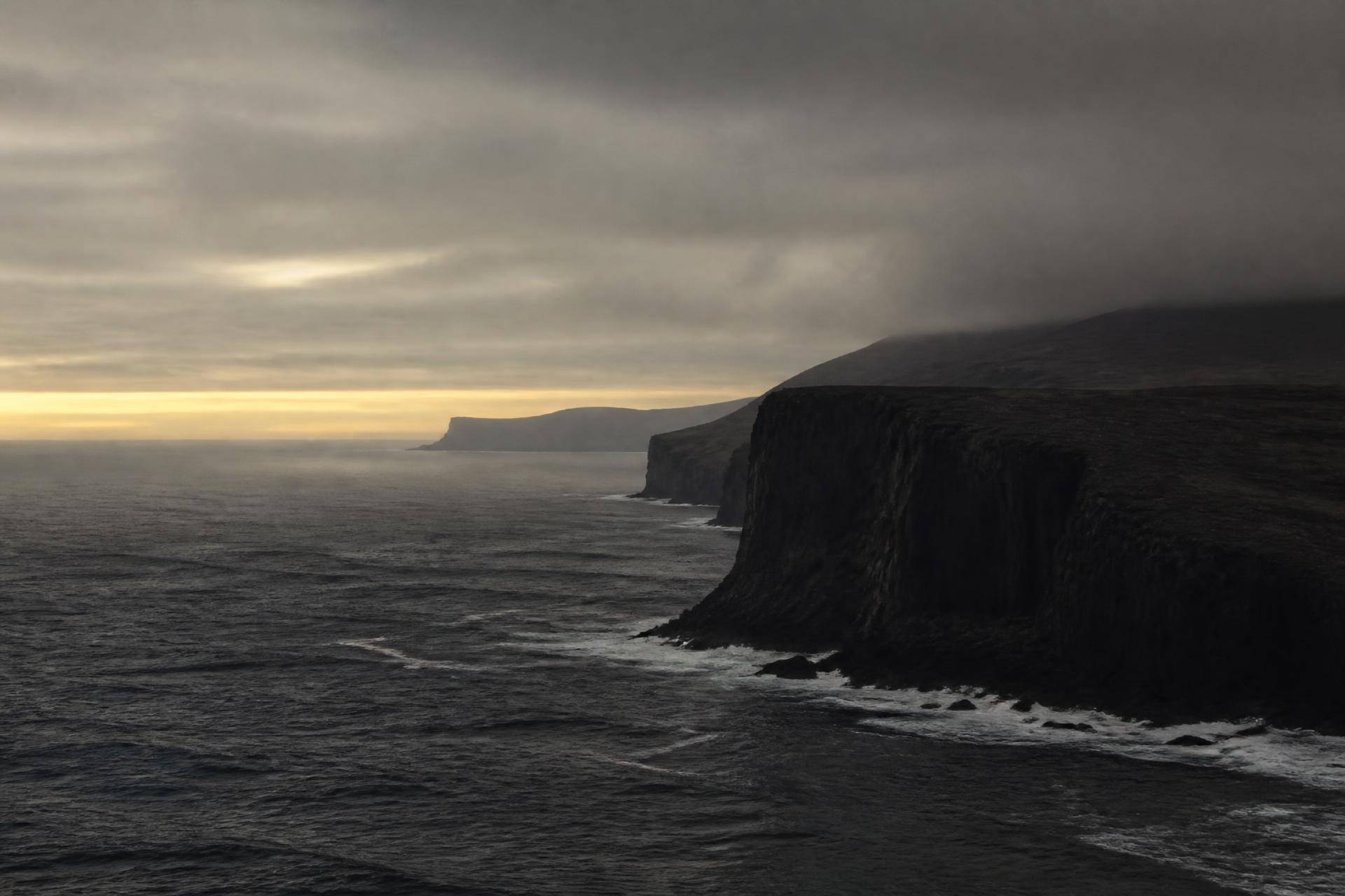
62°N to 69°NNorway · Faroe Islands · Iceland
Saltveil is a journey studio for the North Atlantic edge. We work three regions only, shape each journey around water, weather and season, and publish nothing we cannot stand behind, so there are no fixed departures, no availability, no prices on a page.
Studio note 01
Fjord arms, sounds and open crossings make distances behave strangely here: a short line on a map can be a full day, and a full day can disappear to wind. A journey that assumes otherwise is a journey that breaks on its second morning.
So we work in shapes instead of programmes. Each journey has a direction, a small number of bases and deliberate spare days. What happens inside those days is decided as the weather declares itself, with someone reachable while you travel.
What we do not publish
Each of those is agreed per journey, in writing. Publishing them as page content would be guesswork.
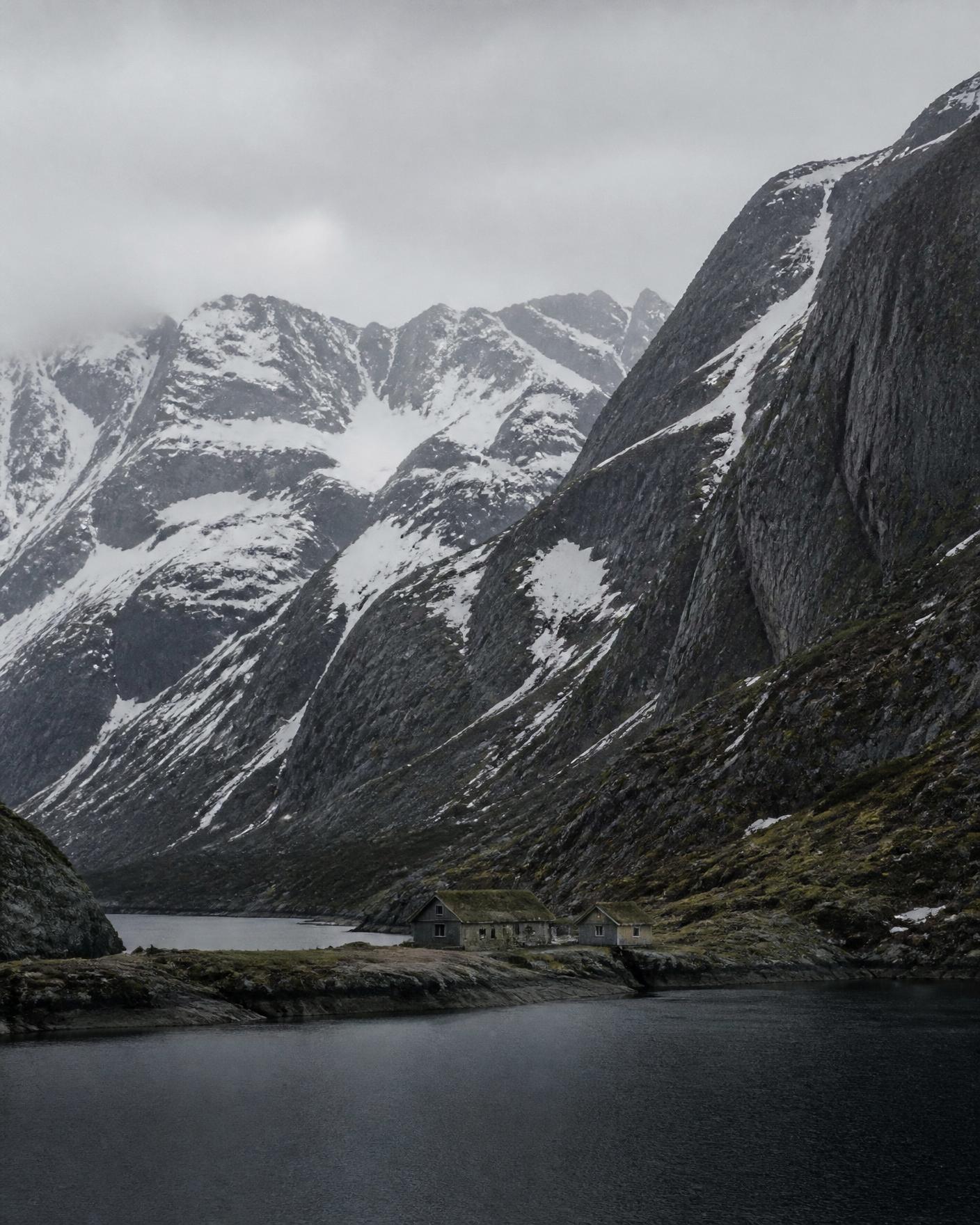 Coastal NorwayNorwayDeep fjord arms, ferry-linked islands, steep weatherBest monthsLate May to September · February to March
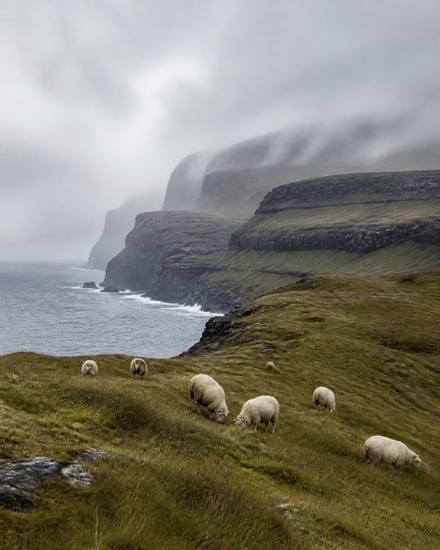 The Faroe IslandsFaroe Islands (Kingdom of Denmark)Eighteen islands, sea cliffs, fast-turning weatherBest monthsMay to September
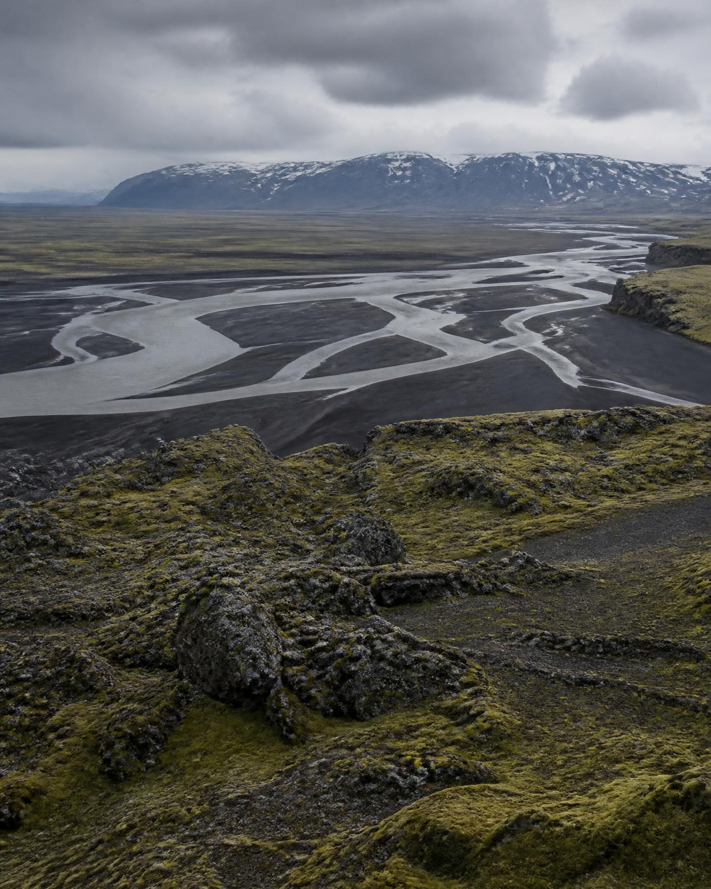 North IcelandIcelandVolcanic interior edges, wide valleys, sea-facing northBest monthsJune to September · Late February to March
Studio note 02
Three structures we know well. Each is a direction of travel through a region with a starting character, a passage, and an ending, which we then fit to your dates, pace and appetite.
All journey shapesA single westward movement: begin at the inner end of a fjord system where the walls are highest, then travel outward with the water until the coast opens to the Atlantic and the horizon becomes flat.
Typically shaped across 9 to 13 days · Regional ferries and coastal boats, short road transfers
A study of one small archipelago rather than a tour of many places: three bases, each on a different island group, with the days themselves decided the evening before according to the forecast.
Typically shaped across 7 to 10 days · Sub-sea tunnels, inter-island ferries, coastal walking
A movement inland from a working farming coast to the volcanic interior, structured so that the landscape becomes progressively emptier rather than progressively more spectacular.
Typically shaped across 8 to 12 days · Coastal roads, then unsealed interior tracks in summer only
01
You describe who is travelling, roughly when, and how you like to move. We reply with an honest read on whether the season and region fit, including when they do not.
02
A written outline of a journey shape: regions, sequence, pace, and the constraints of the season. No prices are quoted at this stage because nothing has been reserved.
03
Once the shape is agreed, we cost the journey against real, currently available arrangements and set them out in writing. A journey exists only once you have confirmed that document.
04
You travel with a written journey record and a contact for the duration. Plans are reviewed against conditions as the journey runs rather than defended.
An enquiry is a conversation. Nothing is held, reserved or confirmed until you confirm a written journey document.
Field note · Planning
Why journeys on this seaboard are built with spare days, and how weather changes the shape of a plan rather than ruining it.
6 min read
Field note · Studio
A deliberately narrow geography: three regions, one ocean, and the reasons we decline everything else.
5 min read
Begin
We answer every enquiry in writing, including the ones where the honest answer is that the season or region is wrong for what you want. Send only what is needed to start: names are optional, passport and payment details are never requested by form.
Begin an enquiry