01 · 62°N to 69°N
Coastal Norway
Norway
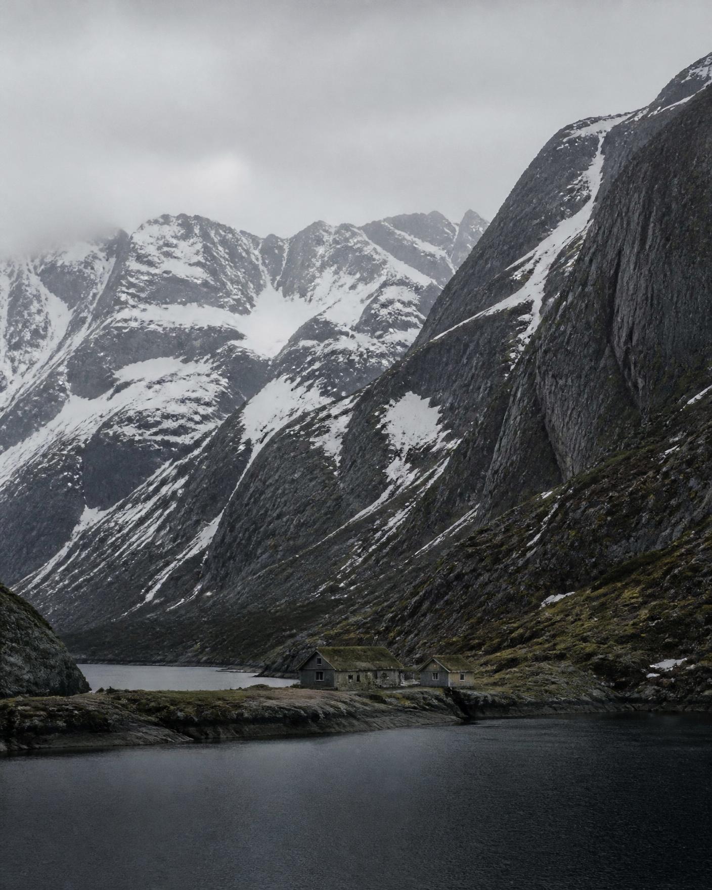
Norway's western and northern seaboard is a fractured coast: long fjords cut inland between granite walls, and thousands of islands and skerries lie offshore. Communities sit where the water allows, which is why travel here is organised around boats and ferries more than roads.
Reading the region
Landscape
Glacially carved fjords, alpine ridges rising directly from sea level, and open Atlantic-facing island groups. The Arctic Circle crosses the mainland at roughly 66°33′N, so the northern part of the coast has midnight sun in midsummer and polar night in midwinter.
People and land
Fishing and small-boat culture shaped the coast for centuries; the cod fisheries of the north and the seasonal rhythm of drying racks remain visible. Coastal Sámi communities live across the northern regions. We plan around local calendars rather than through them.
How travel moves
Regional ferries, coastal boats and single-lane roads. Distances read short on a map and long in practice, because the water dictates the route. Journeys are usually shaped so that a single move per day is normal.
Season by season
- May to June
- Long light, snow still on ridgelines, waterfalls at full volume.
- July to August
- Warmest and busiest weeks; island crossings most reliable.
- September to October
- Low light, autumn colour on the birch slopes, quieter harbours.
- February to March
- Winter coast: short blue days, aurora possible north of the Arctic Circle.
Conditions vary year to year. Access, road and crossing status must be checked against official national services close to travel.
Districts we plan within
Lofoten and Vesterålen
Offshore island chains with peaks rising straight from the sea.
Helgeland coast
A dense archipelago south of the Arctic Circle, crossed by short ferries.
Sognefjord and Nordfjord
Long inland fjord systems reaching towards the ice fields.