Three regions, one ocean.

We do not maintain a world catalogue. The studio holds one working geography between 62°N to 69°N, described here by landscape, culture, season and how travel physically moves, the four things that decide whether a journey works.

01

62°N to 69°N

Coastal Norway

Norway

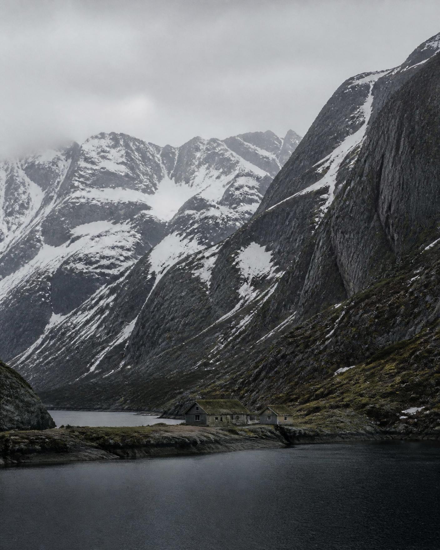
Norway's western and northern seaboard is a fractured coast: long fjords cut inland between granite walls, and thousands of islands and skerries lie offshore. Communities sit where the water allows, which is why travel here is organised around boats and ferries more than roads.

Character
Deep fjord arms, ferry-linked islands, steep weather
Season we plan
Late May to September · February to March
Read Coastal Norway
Snow-streaked granite slopes falling to dark water in a narrow northern fjord under flat cloud

02

61.4°N to 62.4°N

The Faroe Islands

Faroe Islands (Kingdom of Denmark)

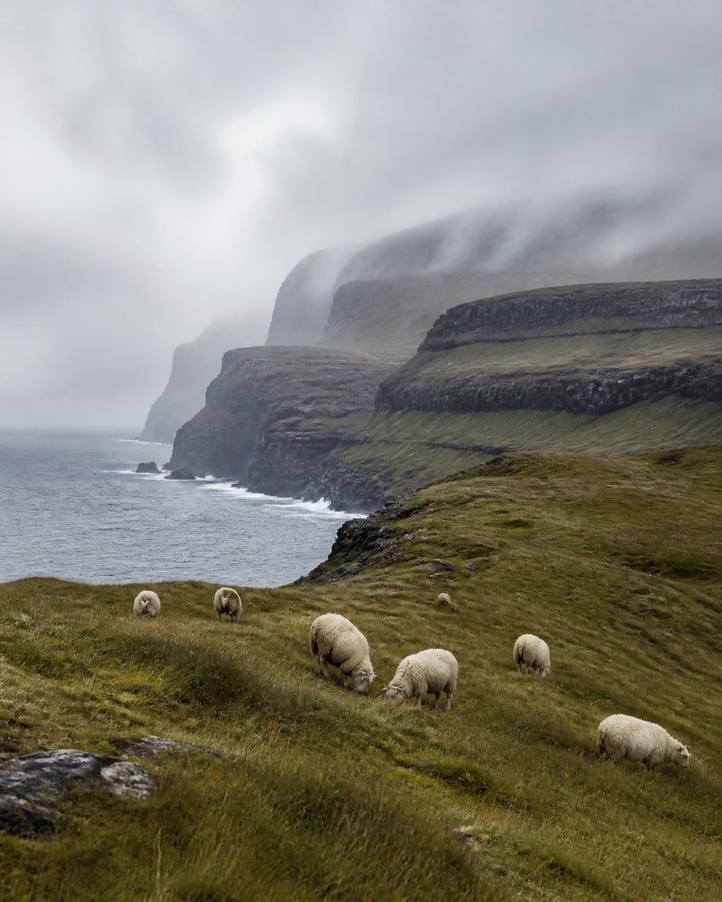
Eighteen basalt islands in the middle of the North Atlantic, roughly halfway between Iceland and Norway. Almost nowhere in the archipelago is more than a few kilometres from the sea, and the weather moves fast enough to change a day's plan twice.

Character
Eighteen islands, sea cliffs, fast-turning weather
Season we plan
May to September
Read The Faroe Islands
Layered basalt terraces and grazed grassland dropping to the Atlantic beneath low cloud in the Faroe Islands

03

65°N to 66.5°N

North Iceland

Iceland

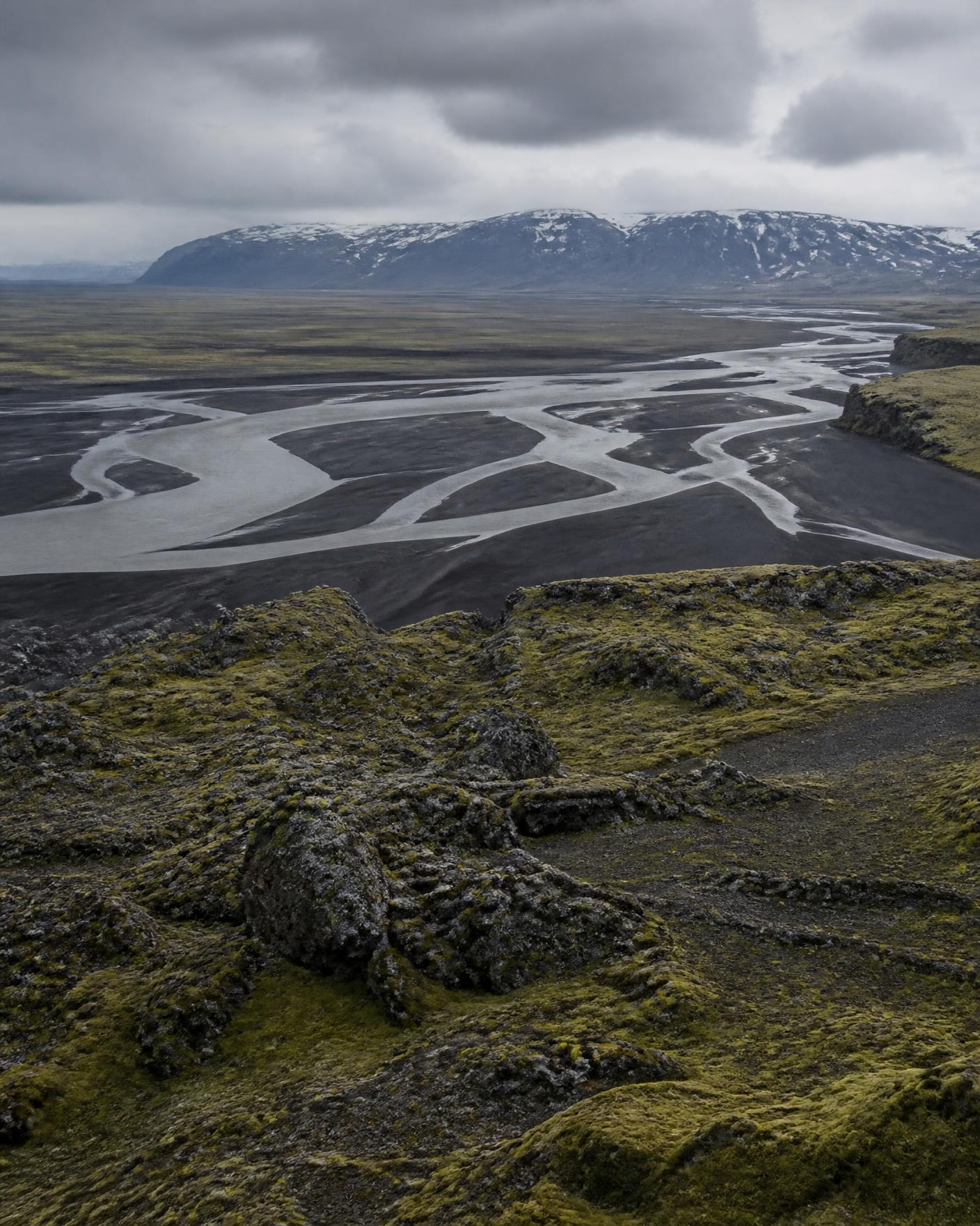
The north of Iceland turns away from the busiest southern circuit. Wide agricultural valleys open to the Greenland Sea, and behind them the ground rises into the volcanic interior of black sand, moss-covered lava and braided glacial rivers.

Character
Volcanic interior edges, wide valleys, sea-facing north
Season we plan
June to September · Late February to March
Read North Iceland
Braided glacial river crossing black volcanic sand below a snow-dusted highland ridge in northern Iceland