03 · 65°N to 66.5°N
North Iceland
Iceland
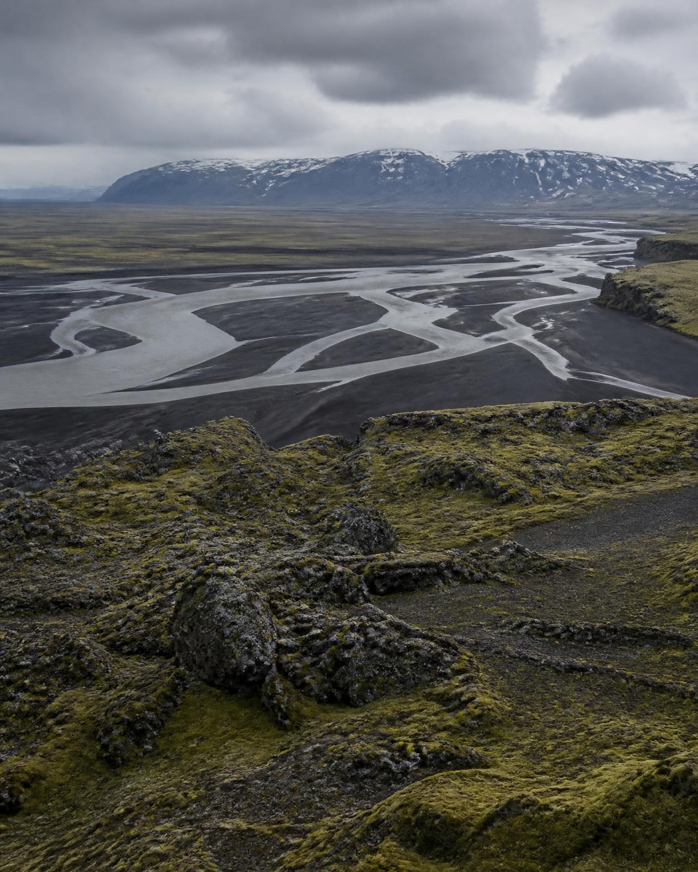
The north of Iceland turns away from the busiest southern circuit. Wide agricultural valleys open to the Greenland Sea, and behind them the ground rises into the volcanic interior of black sand, moss-covered lava and braided glacial rivers.
Reading the region
Landscape
Active volcanic terrain, geothermal ground, tundra plateaux and glacier-fed rivers that braid across sand plains. Interior tracks are open only in the short summer window and require appropriate vehicles and river-crossing judgement.
People and land
Farming and fishing districts with long-settled valleys, a strong literary tradition and a working landscape rather than a scenic one. Land access is often across private farmland, arranged in advance.
How travel moves
Sealed roads along the coast; unsealed interior tracks in summer only. Winter travel in the north depends on daily road and weather assessment, so itineraries stay deliberately loose.
Season by season
- June to July
- Near-continuous light; interior tracks generally open.
- August to September
- Stable walking conditions, first autumn colour on the heath.
- Late February to March
- Returning light, snow-covered valleys, aurora possible on clear nights.
Conditions vary year to year. Access, road and crossing status must be checked against official national services close to travel.
Districts we plan within
Eyjafjörður
A long northern fjord with farming districts along both shores.
Mývatn district
Geothermal and volcanic ground east of the northern fjords.
Interior highland edges
Sand plains and braided rivers below the ice caps, summer only.