02 · 61.4°N to 62.4°N
The Faroe Islands
Faroe Islands (Kingdom of Denmark)
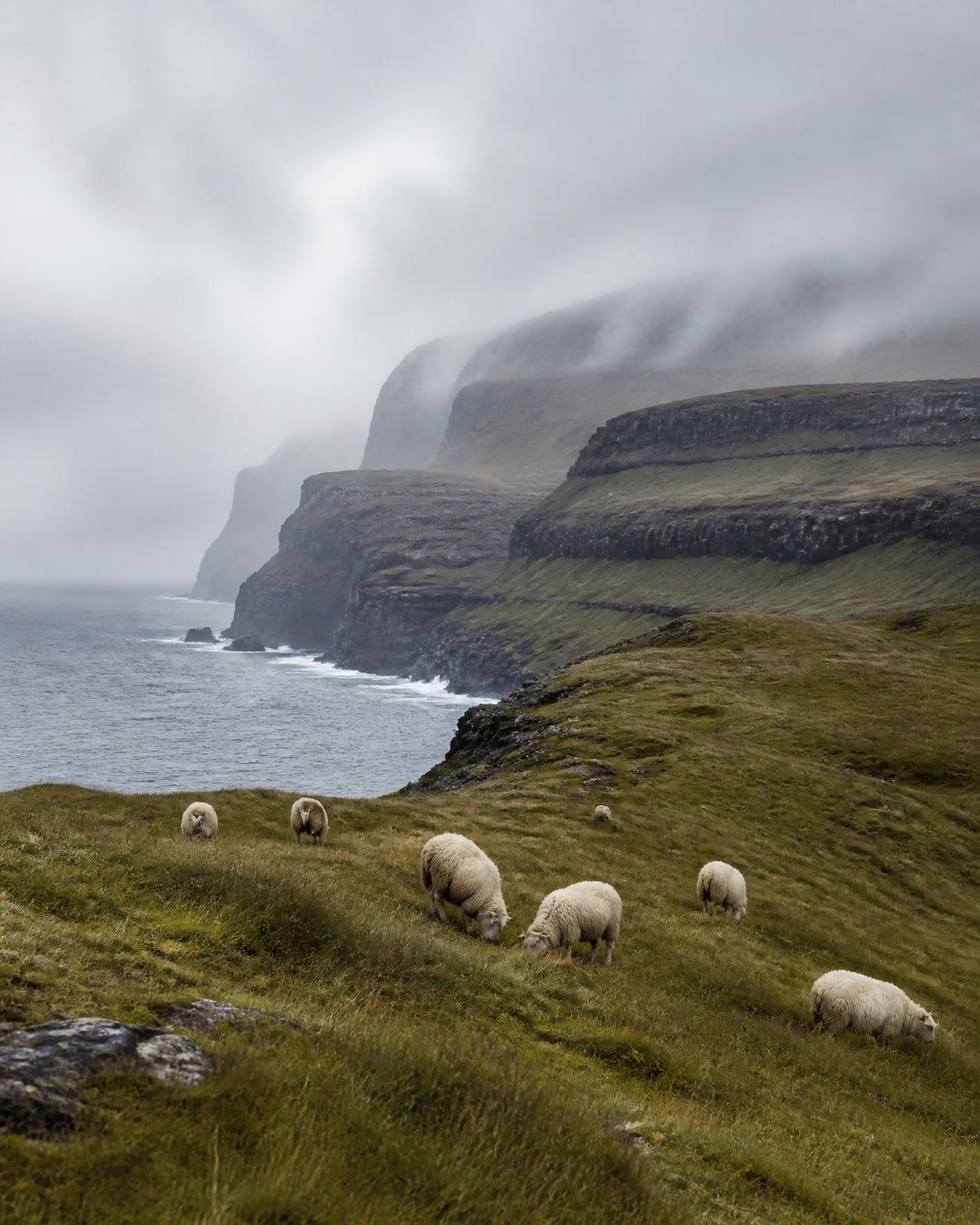
Eighteen basalt islands in the middle of the North Atlantic, roughly halfway between Iceland and Norway. Almost nowhere in the archipelago is more than a few kilometres from the sea, and the weather moves fast enough to change a day's plan twice.
Reading the region
Landscape
Layered basalt terraces, near-vertical sea cliffs, treeless grazed slopes and steep-sided sounds. There are no glaciers and no high mountains by Nordic standards; the drama comes from vertical coast and cloud.
People and land
A Faroese-speaking society with its own literature, choral tradition and strong village identity. Sheep farming and fisheries remain central to the economy. Village access and land are often private, so route planning respects local permission.
How travel moves
Sub-sea tunnels, small ferries and helicopter links connect the islands; distances are short but weather-dependent. Journeys are planned with alternative days built in rather than fixed sequences.
Season by season
- May to June
- Grass greening, seabird colonies active on the cliffs.
- July to August
- Longest settled spells and most reliable inter-island transport.
- September
- Heavier weather, dramatic light, very quiet villages.
Conditions vary year to year. Access, road and crossing status must be checked against official national services close to travel.
Districts we plan within
Streymoy and Vágar
The most accessible islands, with the airport and main sounds.
Northern islands
Steep-sided islands reached by tunnel or ferry from the north-east.
Suðuroy
The southernmost island, reached by a longer ferry crossing.